Project Details:
PI:
Robert Carswell
Participating University:
GTI
PI: James (Yichang) Tsai
Co-PI(s):
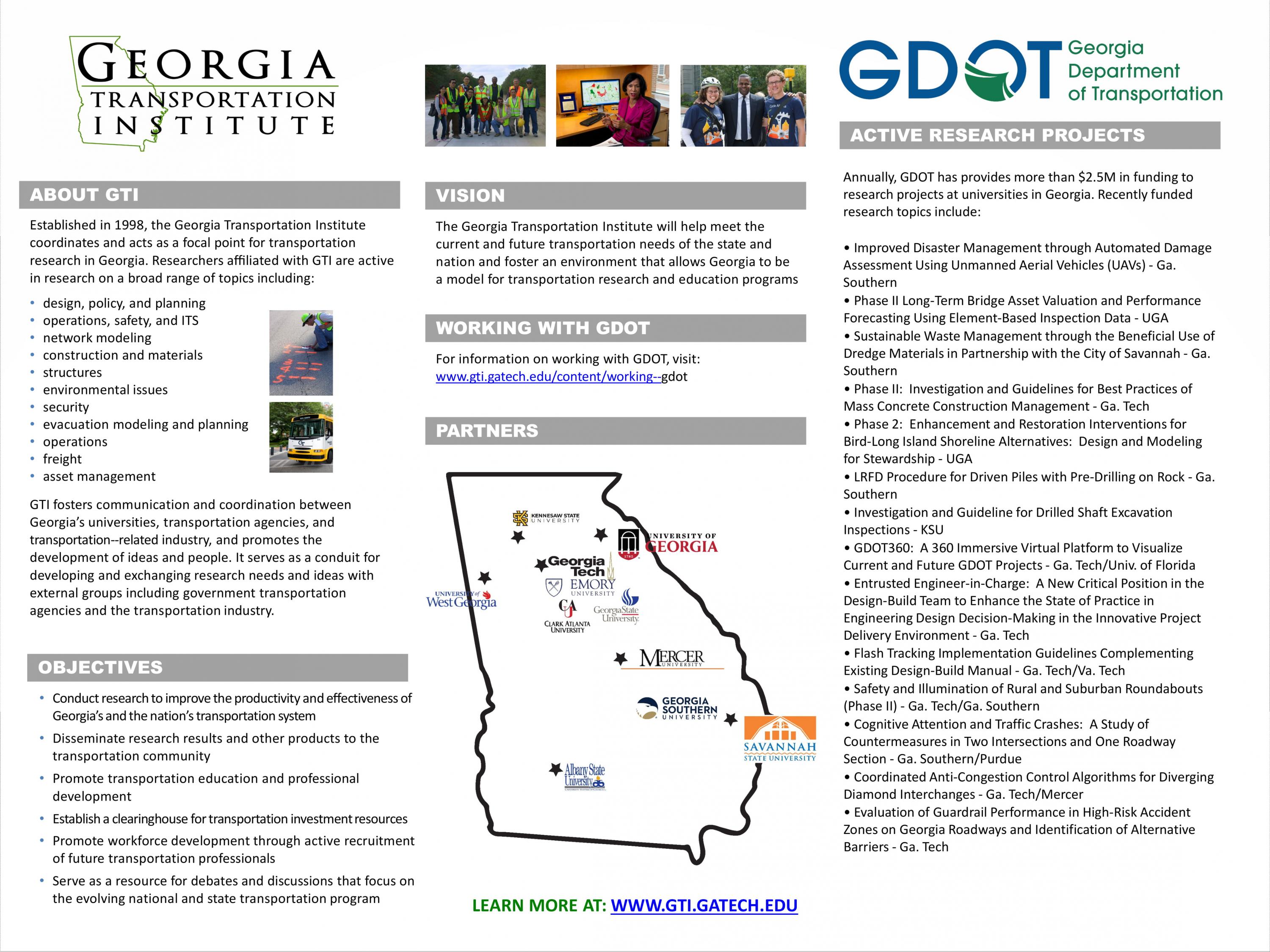
Institution(s): Georgia Institute of Technology
Abstract
A disproportionally high number of fatal crashes (25%) occur on horizontal curves, even though curves represent only a fraction of the roadway network (5% of highway miles). MUTCD requires various horizontal alignment warning signs to ensure roadway safety on curves. However, current transportation agencies? practices for inventorying existing curve signs are typically a costly manual procedure. This report presents automatic curve sign detection (ACSD) using low-cost mobile devices such as smart phones, machine learning, and crowdsourcing to develop a live curve sign inventory. This inventory can be used to analyze MUTCD curve sign compliance for safety improvements. Phase II of this research project focuses on 1) validating the curve sign computation accuracy, 2) recommending data storage and management alternatives, and 3) recommending a methodology for MUTCD curve sign compliance analysis (MCSCA), and 4) presenting a roadmap for implementing the proposed methodology. Based on tests performed in Phase II, the proposed triangulation method, using the images and GPS data collected using smartphones, can achieve accuracy within 10 meters for most cases. However, some cases can have an error greater than 15 meters. Error cases typically occur when there is a significant change in vertical alignment or a rough roadway surface. Future refinement on the triangulation method that accounts for the vehicle?s pitch angle is recommended. Additionally, data storage and management alternatives and a methodology for MUTCD curve sign compliance analysis are recommended. Finally, a roadmap for implementing the proposed ACSD, live curve sign inventory, and MCSCA is presented.

Please comment below with any statements or questions you may have. Also let GTI if you would be interested webinars or presentations on similar topics.
PI: Karen Marie Johnson
Co-PI(s): John Marshall, jmarshall32@gsu.edu
Institution(s): Georgia State University
Abstract
The right-of-way acquisition process is time-consuming and complex, particularly when located over navigable waters. State constitutional provisions, state statutes, and case law establish public and private rights and ownership in waters and the submerged lands. Opportunities exist to improve the right-of-way acquisition process for highways crossing navigable waterways, reducing the possibility of oversight or confusion that could result in multiples agencies and private property owners appearing to have a legal right of ownership in potentially overlapping portions of the right-of-way area with no clear way to sort it out beyond a court proceeding. This project provides six recommendations to improve timely identification of projects crossing state navigable waters and prevent project delays.

Please comment below with any statements or questions you may have. Also let GTI if you would be interested webinars or presentations on similar topics.
PI: Jun Liu
Co-PI(s): Praveena Penmetsa, Ph.D. Timothy E. Barnett, P.E., PTOE Xiaobing Li, Ph.D.
Institution(s): University of Alabama
Abstract
Non-traversable medians consistently yielded improved safety performance compared to other median types such as undivided, 4-feet flush medians, and two-way left-turn lane cross-sections. However, constructing non-traversable medians can be costly. The goal of this study is to 1) examine the safety performance of existing rural four-lane roadways with above-mentioned four median types in Georgia by using Safety Performance Functions (SPFs) and Crash Modification Factors (CMFs), and 2) develop criteria to determine under what conditions these four median types yield maximum safety benefits while considering construction costs. Data were refined and integrated from multiple sources such as from the Georgia Department of Transportation (GDOT), Federal Highway Administration (FHWA) and Google Maps. The Annual Average Daily Traffic (AADT), truck percentage, and access point density were considered as key independent variables in SPFs. The CMFs were estimated to show the effectiveness of a cross-section compared to the base- four-lane undivided roadway. Note, the SPFs and CMFs developed in this study did not consider the speed limit. The key results show that the estimated CMFs vary across different values of variables, indicating that the safety effectiveness of a treatment is likely to vary across different roadway and traffic conditions. Specifically, the segments with non-traversable medians outperformed the other three segment types across all AADTs, truck percentages, and access point densities, except at very low AADT under 5,000 where the 4-feet flush medians appear to have improved safety. The research team estimated average annual crash reductions (compared with undivided roadways), which were converted into monetary values using the average crash costs by severities. The safety benefits and project construction costs were used to estimate benefit-cost ratios (BCRs). Simulations were suggested in situations where safety solely did not help in the decision-making process of identifying cost-effective median type for rural four-lane roadways. It is highly recommended that decision-makers or practitioners use the estimated safety benefits from this study and the construction costs of a specific highway project to estimate BCRs for recommendations of the cross-section type.

Please comment below with any statements or questions you may have. Also let GTI if you would be interested webinars or presentations on similar topics.
PI: Samuel Coogan
Co-PI(s): Makhin Thitsa
Institution(s): Georgia Institute of Technology, Mercer University
Abstract
Diverging Diamond Interchanges (DDI) are a relatively new interchange design that moves traffic to the opposite side of the road at a freeway overpass. This allows vehicles to enter and exit the freeway via unimpeded left-hand turns. This project aims to develop traffic prediction and control algorithms to optimize traffic flows at Georgia?s DDIs and their adjacent intersections. Through robust data-driven methods, our team was able to develop traffic prediction algorithms for the coordinated control of the traffic flow networks around the DDIs. The algorithm?s predictions are especially valuable for signal timing optimization purposes on the days of unusual traffic trends where nominal parameters will fail to predict the future traffic flows. Our study shows that the use of the algorithm can save approximately 70 to 350 hours of delay, amounting to approximately $1,000 to $5,000 per day in travel time savings at the four intersections of the DDI in the network when flow is atypical.

Please comment below with any statements or questions you may have. Also let GTI if you would be interested webinars or presentations on similar topics.
PI: Junan Shen
Co-PI(s): Yunfeng Chen, Purdue University Weinan Gao, Florida Institute of Technology
Institution(s): Georgia Southern University
Abstract
This poster presented the research project of RP 19-12 which was supported by GDOT: Cognitive attention and its application in countermeasures on a curve section of rural road. The effectiveness of the common countermeasures on reduction of crashes was examined based on the information of the number of crashes, the eye movement indexes collected during simulation. Results indicated that the eye movement indexes from eye tracker can help understanding the effectiveness of those countermeasures.

Please comment below with any statements or questions you may have. Also let GTI if you would be interested webinars or presentations on similar topics.
PI: Baabak Ashuri
Co-PI(s):
Institution(s): Georgia Institute of Technology
Abstract
One of the main challenges that state departments of transportations (state DOTs) face in their design-build (DB) projects is to ensure that the design-build team upholds the highest standard of care in making complex engineering decisions involving multidisciplinary works. It is crucial to understand the underpinnings of engineering-related problems during both the design and construction phases and identify an effective approach to address these issues in the alternative delivery environment. This research aims to help the Georgia DOT (GDOT) Office of Innovative Delivery clearly define its expectations for the new position of project chief engineer (PCE). The overarching goal of this research project is to identify best practice guidance for defining GDOT?s expectations from the design-build team in proactive management of design-related issues. This study identifies gaps between GDOT?s expectations and the industry understanding of the PCE’s roles and responsibilities. Several emerging challenges related to the successful implementation of the new PCE position are discussed in the context of the dynamic design-build transportation market. The research team conducted content analysis and interviewed various professional groups, including state DOT officers, highway contractors, design consultants, owner’s representatives, legal experts, and insurance experts. To further discuss any issues related to insurability, the research team conducted a separate set of interviews with the insurance experts. The results show that, overall, interviewees agree that the PCE will add value for large and complex projects requiring multidisciplinary parties. The PCE requires a unique set of skills both in design and construction, and, therefore, finding an appropriate pool of candidates for the PCE position may be challenging for design-build teams. Several recommendations are made to enhance the description of the PCE role and responsibilities, in order to minimize any gaps in the understanding of the design-build industry professionals to fulfill this position. Not limited to the PCE position introduced by GDOT, the findings contribute to the DB and public-private partnership (P3) market to better understand the engineering decision-making process for the large and complex DB and P3 projects.

Please comment below with any statements or questions you may have. Also let GTI if you would be interested webinars or presentations on similar topics.
PI: Javier Irizarry
Co-PI(s): Yong Kwon Cho
Institution(s): Georgia Institute of Technology
Abstract
Vegetation control and roadside mowing on highway is a repetitive task conducted several times per year. Especially, verification of mowing work is labor-intensive, time-consuming and presents safety issues. This study focuses on a development of UAV-based automatic mowing inspection framework using computer vision and Artificial Intelligence. This work also presents a workflow analysis to optimize for the right-of-way mowing activities. The goal of this project is to develop an automated performance verification framework for highway grass condition monitoring tasks. The proposed method uses real highway image data captured by the UAV to process the grass classification and height estimation algorithms. The results from the proposed approaches are evaluated in terms of accuracy of detected grass regions and heights by comparing ground truth data. The outcome of this research will enhance and automate the roadway mowing inspection and monitoring process.

Please comment below with any statements or questions you may have. Also let GTI if you would be interested webinars or presentations on similar topics.
PI: Jon Calabria
Co-PI(s): Clark Alexander Kevin Haas
Institution(s): The University of Georgia
Abstract
The shoreline of an anthropogenically altered island is changing and threatens cultural and natural resources on the property that GDOT owns and intends to use for saltwater marsh mitigation. The first phase of the Bird-Long Island investigated shoreline movement over time, deployed spat sticks, documented vegetative alliances and quantified channel velocities (Phase 1A: Alexander, C. and Calabria, J. and Phase 1B: Haas, K.)[1]. Results from the first phase informed the second phase of design interventions that balance cultural and natural resources in light of environmental changes. Design interventions are proposed with unranked strengths and weaknesses that explain their efficacy. Several conceptual plans with passive and active strategies to enhance natural and cultural resources on this property are proposed.

Please comment below with any statements or questions you may have. Also let GTI if you would be interested webinars or presentations on similar topics.
PI: Baabak Ashuri
Co-PI(s):
Institution(s): Georgia Institute of Technology
Abstract
Prepared in cooperation with the Georgia Department of Transportation, Office Right of Way (ROW), this research found the current state of the practice in right of way acquisition among state DOTs to identify best practices with the greatest potential to improve ROW acquisition, including: (a) the organizational structures of the office of ROW, (b) the process of using consultants and performance measurements, and (c) the best practices and strategies used to expedite ROW acquisition. The research utilized the following tasks to evaluate opportunities to estimate the ROW acquisition timeline, considering unique project features and important external factors surrounding the project environment: (a) identify important factors in setting the ROW acquisition timeline, (b) collect required data, (c) conduct data mining to evaluate opportunities to estimate the ROW acquisition timeline.

Please comment below with any statements or questions you may have. Also let GTI if you would be interested webinars or presentations on similar topics.