IMPROVED DISASTER MANAGEMENT THROUGH AUTOMATED DAMAGE ASSESSMENT USING UNMANNED AERIAL VEHICLES (UAVS)
PI: Rami J. Haddad
Co-PI(s):
Institution(s): Georgia Southern University
Abstract
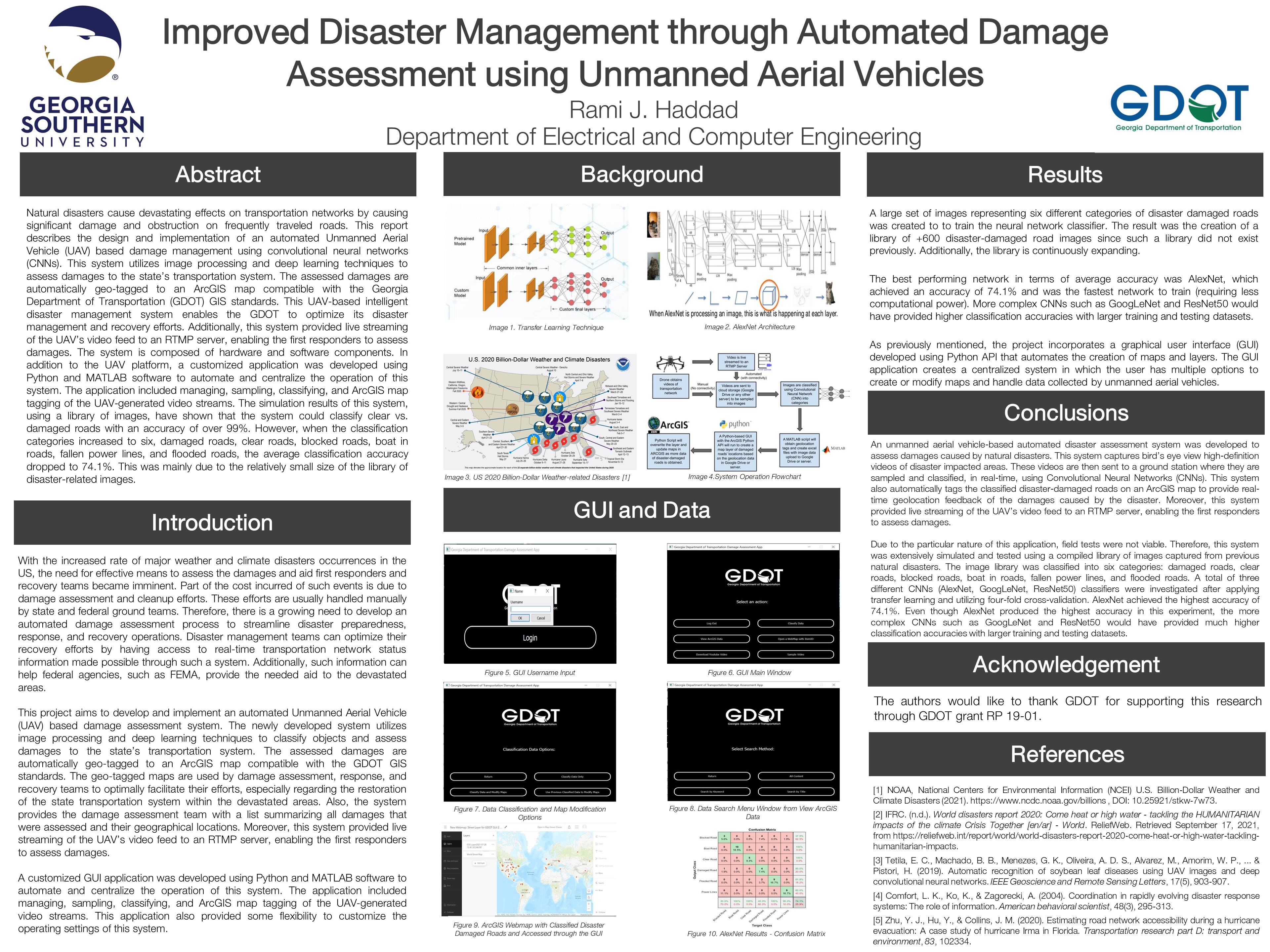
Natural disasters cause devastating effects on transportation networks by causing significant damage and obstruction on frequently traveled roads. This report describes the design and implementation of an automated Unmanned Aerial Vehicle (UAV) based damage management using convolutional neural networks (CNNs). This system utilizes image processing and deep learning techniques to assess damages to the state’s transportation system. The assessed damages are automatically geo-tagged to an ArcGIS map compatible with the Georgia Department of Transportation (GDOT) GIS standards. This UAV-based intelligent disaster management system enables the GDOT to optimize its disaster management and recovery efforts. Additionally, this system provided live streaming of the UAV’s video feed to an RTMP server, enabling the first responders to assess damages. The system is composed of hardware and software components. In addition to the UAV platform, a customized application was developed using Python and MATLAB software to automate and centralize the operation of this system. The application included managing, sampling, classifying, and ArcGIS map tagging of the UAV-generated video streams. The simulation results of this system, using a library of images, have shown that the system could classify clear vs. damaged roads with an accuracy of over 99%. However, when the classification categories increased to six, damaged roads, clear roads, blocked roads, boat in roads, fallen power lines, and flooded roads, the average classification accuracy dropped to 74.1%. This was mainly due to the relatively small size of the library of disaster-related images.

Please comment below with any statements or questions you may have. Also let GTI if you would be interested webinars or presentations on similar topics.

